Hiking trail Gravmyrberget
(Ängebo- Gravmyrberget)

A 2.6 km hike to the top of the mountain
in the forests north of the village of Ängebo.
Start and P at Ängbo IK clubhouse, hiking center, where a map with trail information is available.
You reach the trail by walking past Svågagården
out on the road east for about 400 m.
Trail markings start at the notice board by the old kiosk.
Moderately difficult stretch.
Slight incline with the steepest section the last 500 m.
From the old kiosk, follow Hövägen,
an old base road out through the forest
north through the forest where a nice path begins, slightly uphill in a wonderfully beautiful landscape with old mixed forest.
After about 1 km you cross a forest road
and shortly afterwards the trail turns off to the right.
Here there is a trap system. The trail runs parallel to the road before it turns left and that is where the steep part of the trail begins.
On the base road up the mountain,
people once drove loads of timber by horse.
Walk carefully and watch carefully where you step down otherwise there is a great risk that you could fall and hurt yourself.
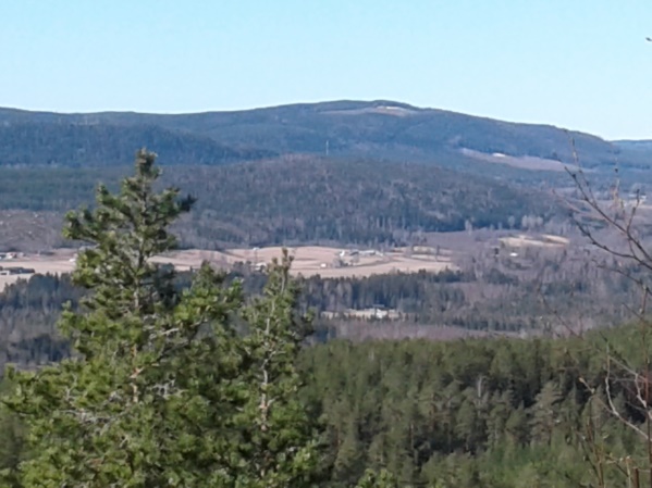
Even up on the mountain you can enjoy the beautiful view, possibly make a fire and maybe make coffee or grill a sausage.
Firing is only done in the prepared fire pit and at your own risk.
Remember the fire risk, put out the fire when you leave the site
The length of the trail is about 2.6 km, can be shortened if you take the gravel road
up to the foot of the mountain, see map.