Hiking trail
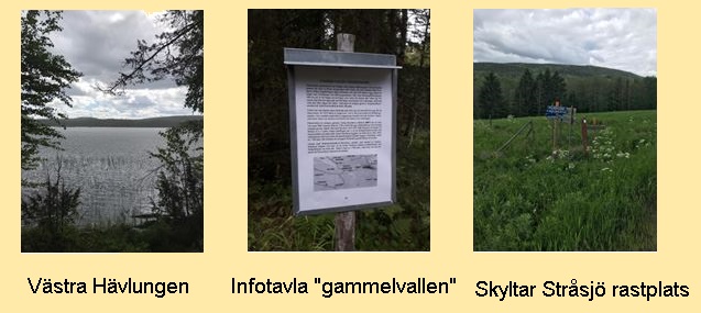
Stråsjö Rastplats - Hävlungen -
Nilspelles - Stråsjö Rastplats
NB !
The trail is not maintained for the moment,
and is not cleared after the storms.
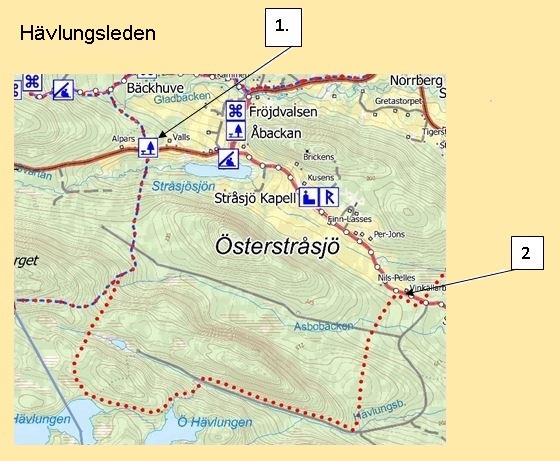
Hiking from the rest area Stråsjö Svartsjövägen. (Map ref.1)
The trail initially goes over a field in a cow pasture, continues on a steep downhill slope over a bridge by Svartån, then follows through a bush further slightly uphill in changing forest, goes bit by bit after a rough walk through young forest out on a forest road "Kullvägen".
If you follow the forest road for about 50 meters, turn right and go through a thin half-grown mixed forest on a slight slope onto an old horse-drawn carriageway.
Nice hike, passes some marshes and at the edge of a mire "Kammyren" then follows an old winter road over a mire to "Campingmyra" after about 300 m you reach Västra Hävelungen. Then continue through a bit of swampland, turn left towards Östra Hävelungen to the left on a hill, you will see a cabin not available to the public. The trail follows Hävlungsbäcken in a steep downhill over a stream up on Trollbersdalsvägen, about 1.5 km.
Turn left on an old snowmobile trail past where Gammalvallen / Stråsjövallen once lay, further follow the trail between two mountains Trollsberget to the left Åsboberget to the right. Easy hike on a path through thinned forest after a further about 600 m we pass a bridge then over a road "Kullvägen" continues in similar nature comes to Nilspelle's "Nirspelles" (Map ref. 2)
The length of the trail is about 12 km, then you continue back over Österstråsjö to the starting point, a total of about 15 km