Hiking trail Klangberget
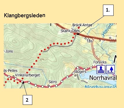
Hiking from the road in Havra (Map ref.1). The trail follows the forest road up to Klangberget slight slope, there is a viewpoint on the right side of the road just before the turnaround. On the left-hand turning plane, the trail continues after a tractor road goes through dense young forest out where the trail follows a rough walk.
The trail runs in very uneven terrain with a slight descent, and some wet areas also pass over a canal into a slippery area before finally reaching the road between Österstråsjö and Norrhavra (Map ref.2). If you want to continue the hike, you have about 500m to Nilspelles where the Hävelungsleden comes out.
The pilgrimage route also passes where you get out on the road. Replica Watches
The length of the trail is about 2 km, hiking time about 45 min
