Hiking trail Njupfatsleden
(Marking for start)

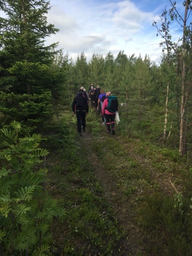
The trail is a circular hike of approx. 8 km. The best starting point is to go up the first gravel road on the right, west of Ängebo. Keep it to the left until you reach the starting mark. The trail follows an old base road and paths. Easy hiking even though it climbs all the way up to Njupfatet.
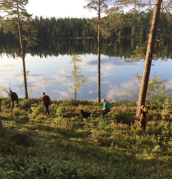
You hike on a gravel road below Sörnjup, which is 426 m above sea level. There is a cairn at the top. There are some magical ponds here. Njupfatet is a very beautiful and clear lake that is part of the main drainage area of Delångersån.
It is located 367 m above sea level. The area is 0.104 km². The lake is drained by the Njupfatsbäcken stream. There are valuable fish in the lake. A fishing license is required. There are two windbreaks, one of which the trail passes on the southern side.
The trail then continues out to the west side of the lake and goes back down following another path that was used by people from Långmor, Björsarv.
Now it has been logged and there are some gravel roads that have been broken after the trail, so there will be some gravel road to walk on, a total of about 2 km.
You walk past a small cabin on the large clearing, where there is also a nice view. Here used to be a fantastic pine forest with long straight trunks that it was a joy for the soul to walk in.
However, the trail is still there and the small cabin was used once
when tests were done in this forest, but that was a long time ago.
Alternative day hike.
There is the possibility of extending this trail if you want to be out for a whole day.
Then you can start at Ängebo IK's clubhouse below Svågagården.
Follow Hövägen to the sign for Njupfatet.
When you get back down on the gravel road again
follow Hövägen down to Långmor and hike Flottarleden
or Svågaleden back to Ängebo.
A trip of about 22 km